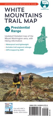
White Mountains Trail Map: Presidential Range
Tech Specs
Las especificaciones se mantienen en Pack4Back GearDB (edición comunitaria e historial). Pueden diferir del fabricante o de tu unidad.
BrandAMC
Best UseHiking
State / ProvinceNew Hampshire
Folded Dimensions22.9 × 10.2 × 0.4 cm
Double SidedYes
WaterproofYes
PublisherAppalachian Mountain Club Books
Copyright Year2017
Map Number1
Description
Because foul weather is bound for any route, the AMC White Mountains: Presidential Range trail map is completely waterproof to guide you across the summits of New Hampshire named after presidents.
Datos clave
- Updated, full-color double-sided map printed on waterproof material
- Map 1 covers the Presidential Range, including an inset map of Mount Washington
- Includes trail-segment mileage